
Overview
The RD41, the Route de la Montagne: a 6.9 km climb above Saint-Denis, hairpin after hairpin, up to La Montagne village. Stone walls, cliffs, the Quatre Canons viewpoint and the Indian Ocean below.
The terrain comes from IGN LiDAR HD scans; the layout and edges are aligned with 2025 aerial imagery and Région Réunion road data, so camber, bumps and grades are those of the real road. Start at La Redoute (Saint-Denis), finish in La Montagne village, at the Engen fuel station.
Gallery
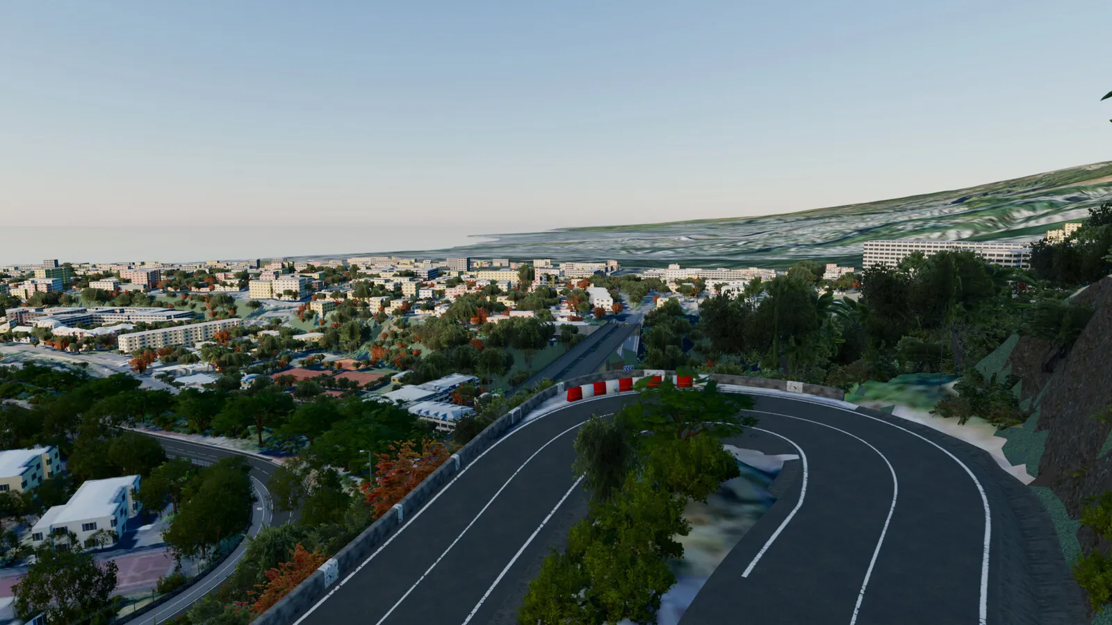
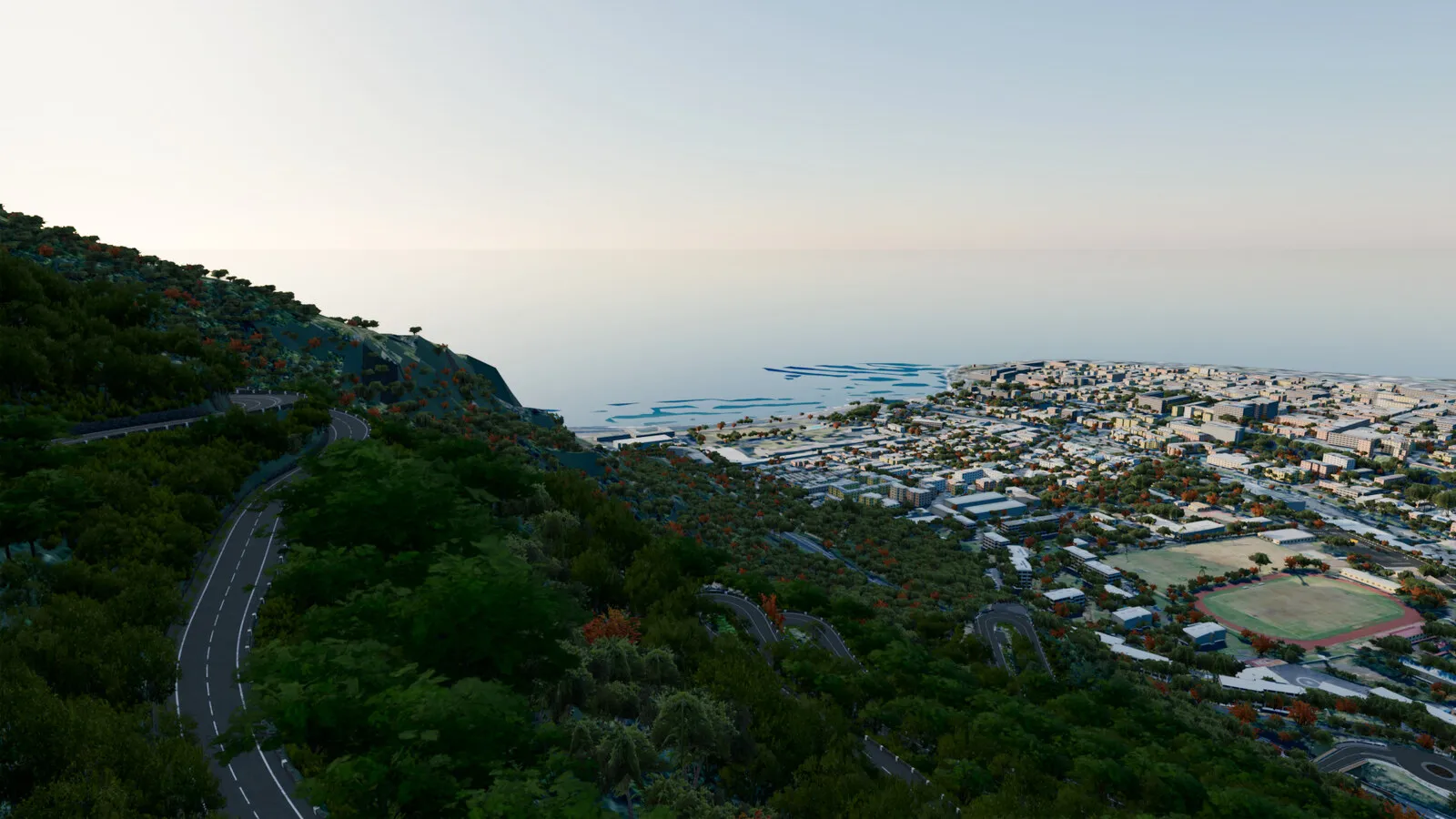
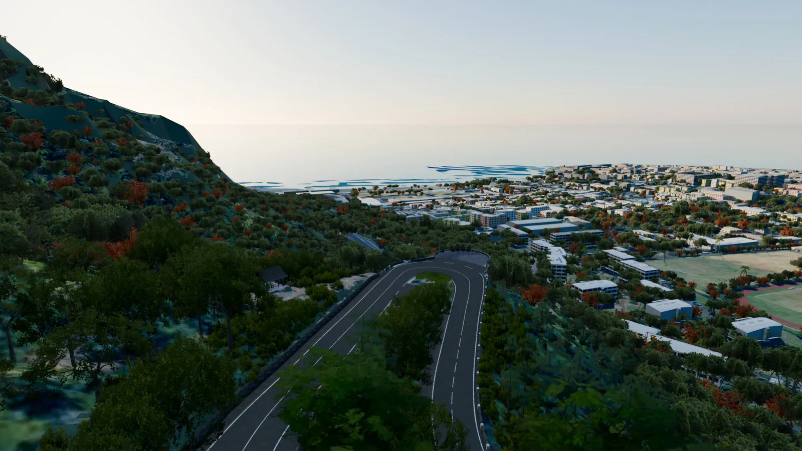
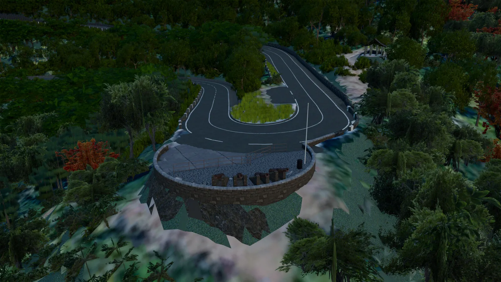
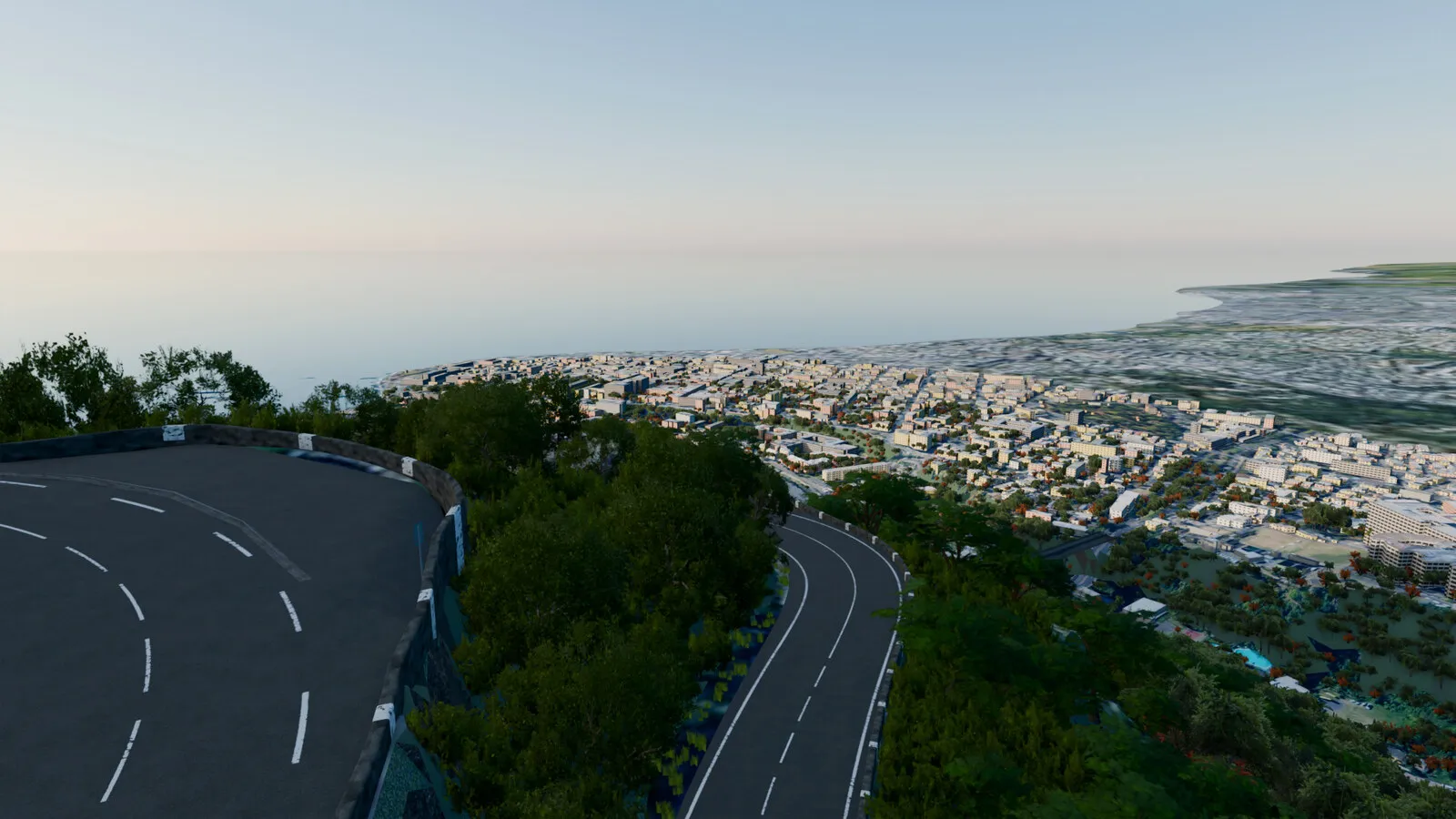
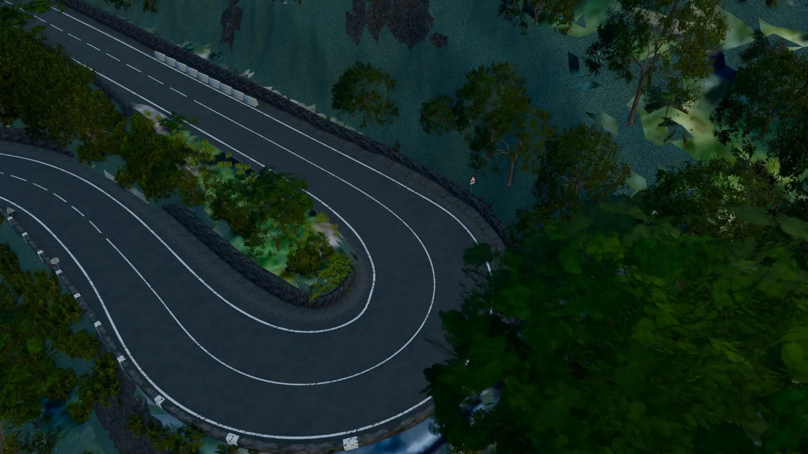
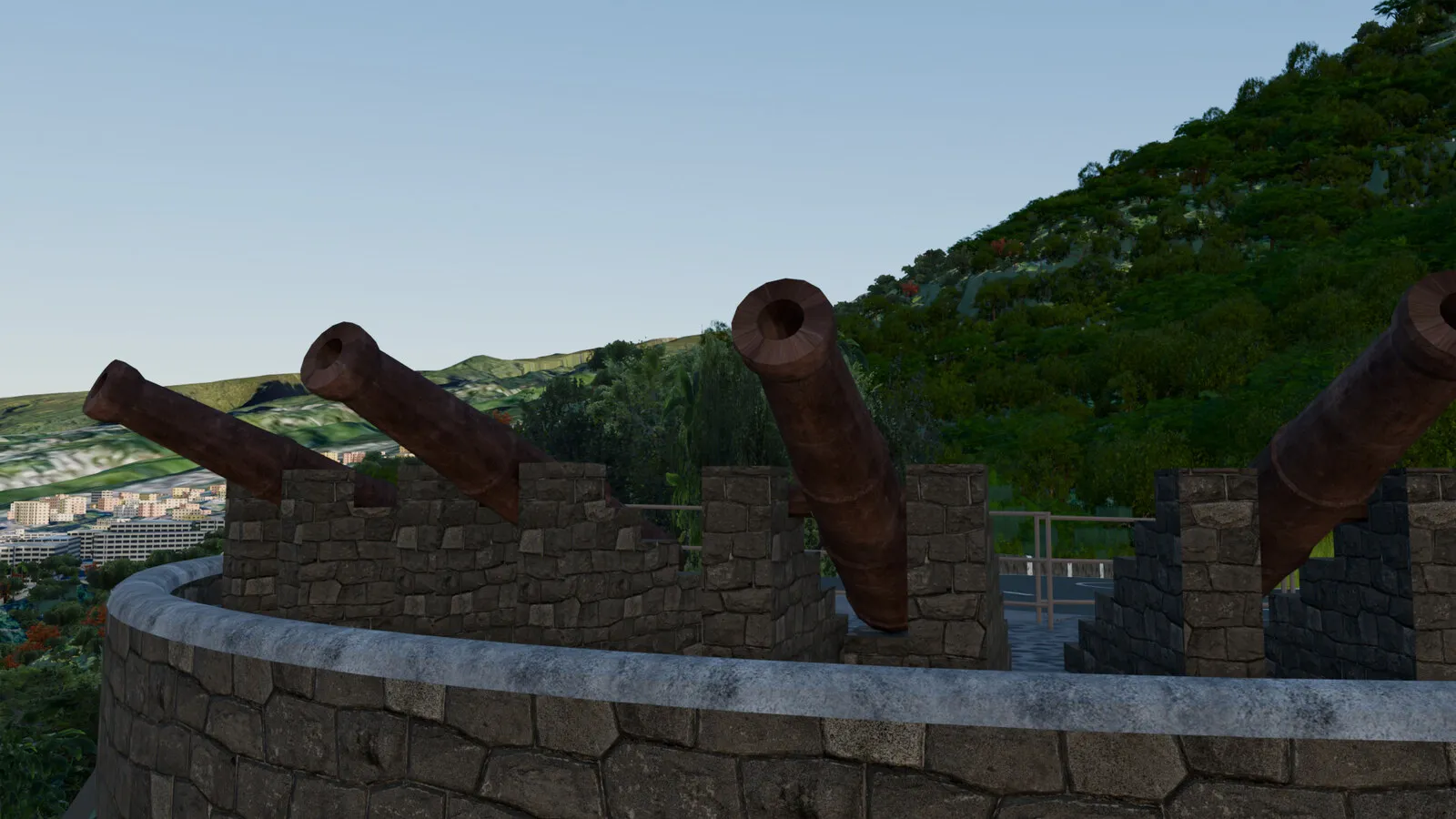
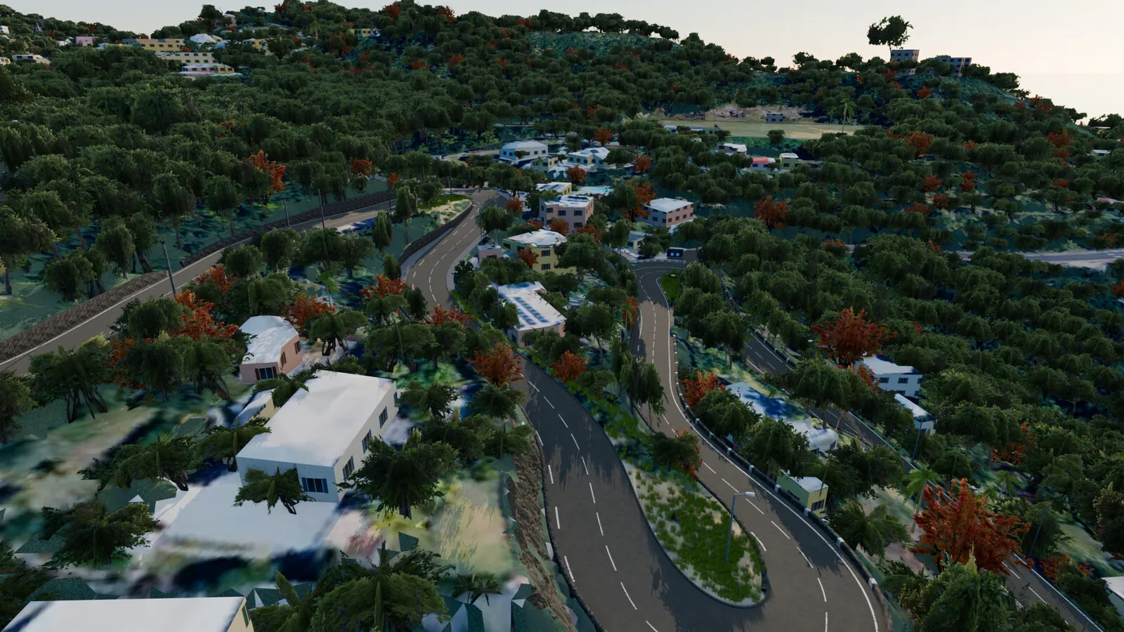
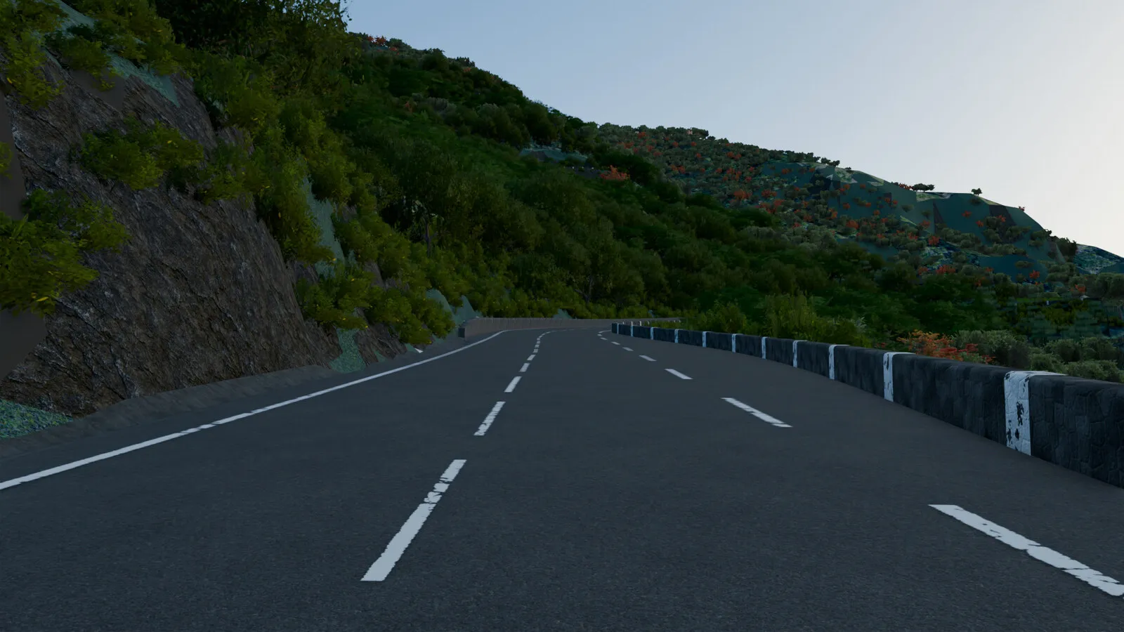
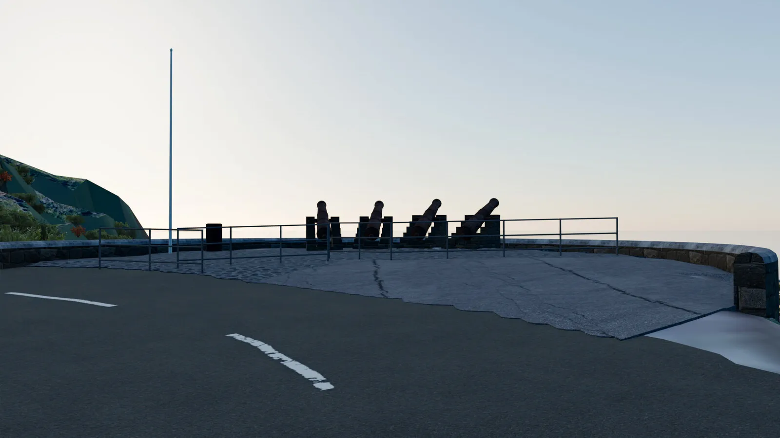
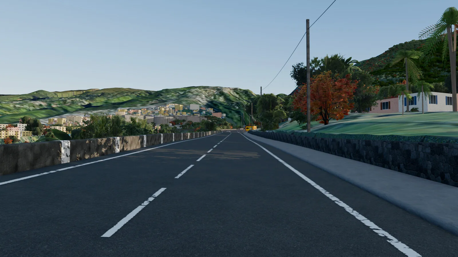
Blender renders of the track build of 20/10/2026.
Telemetry
Hover or touch the profile to read distance and altitude.
Circles: the 13 hairpins (turns over 170°, definition to be confirmed). Yellow dots: the places below. Road surface altitude above sea level.
The road and its places
North up. Hover the profile above: the white dot follows the road.
- Start · La RedouteBelow the La Redoute stadium, Saint-Denis.km 0.0
49 m - Bridge over the N6The RD41 crosses over the Vinh-San boulevard.km 0.6
86 m - Quatre Canons viewpointFour cannons facing the ocean, in the viewpoint hairpin.km 1.3
132 m - Viewpoint tableLookout over Saint-Denis and the sea.km 4.1
319 m - Entering La MontagneThe town sign: the village begins.km 4.5
351 m - Ola fuel stationThe village's first fuel station (unbranded in game).km 5.5
405 m - Saint-Gabriel churchThe village church and its clock.km 6.3
425 m - Finish · Engen stationEnd of the climb, at the village's second fuel station.km 6.9
443 m
Real ↔ game
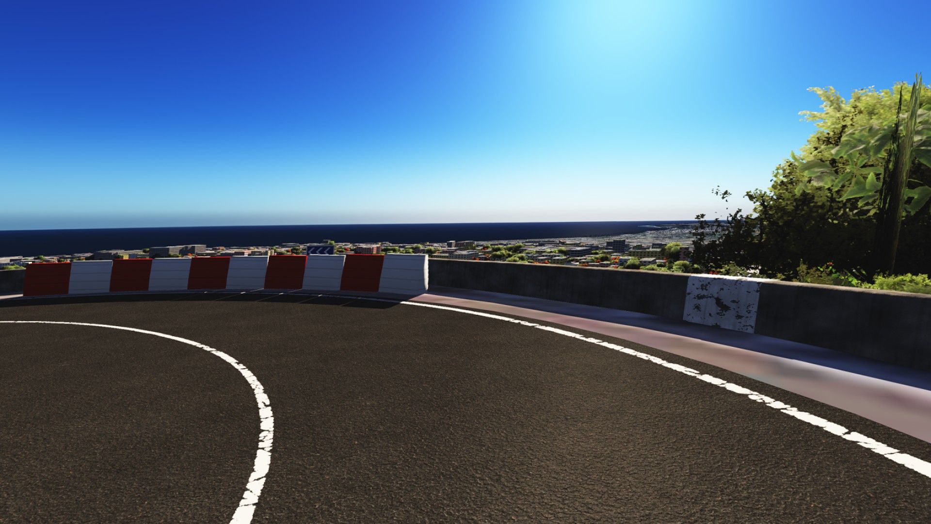
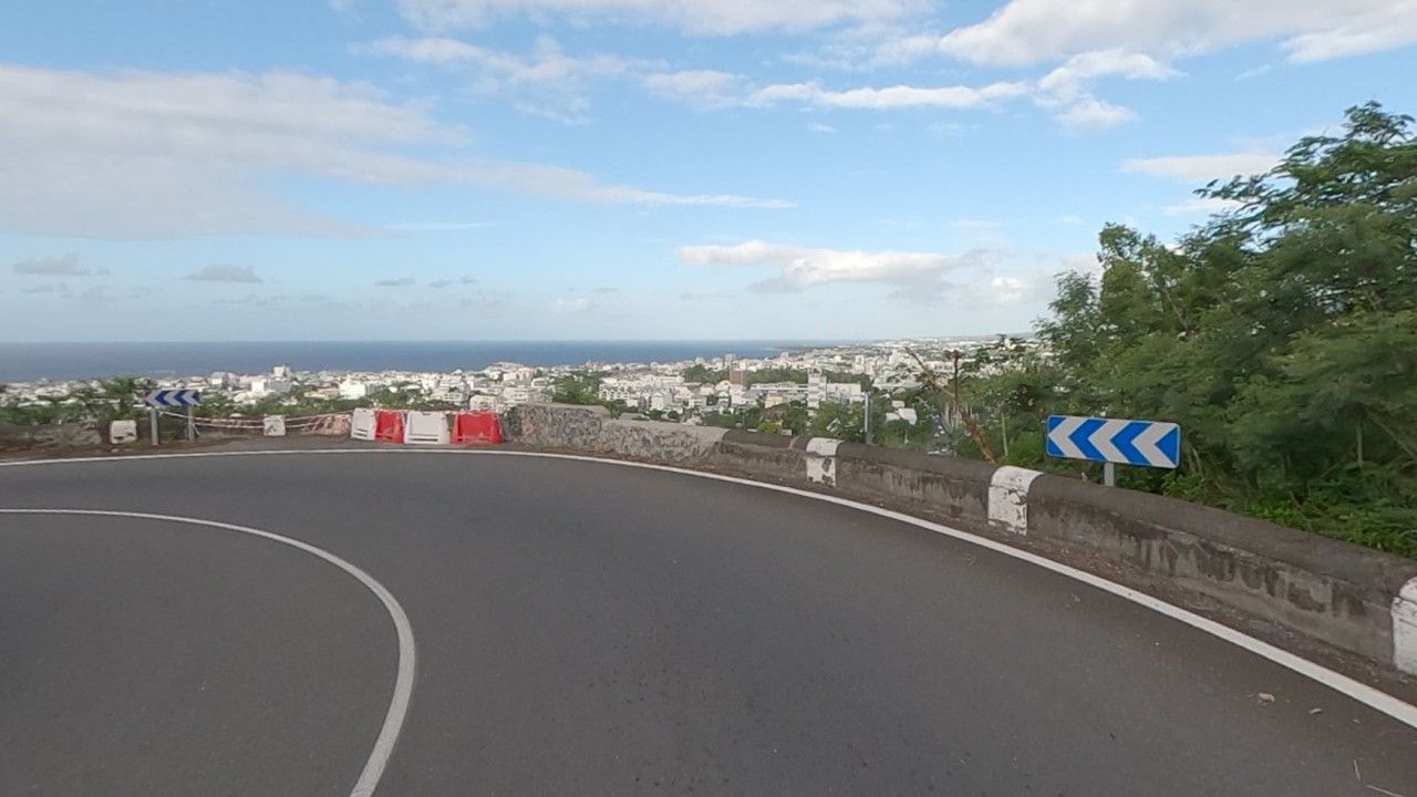
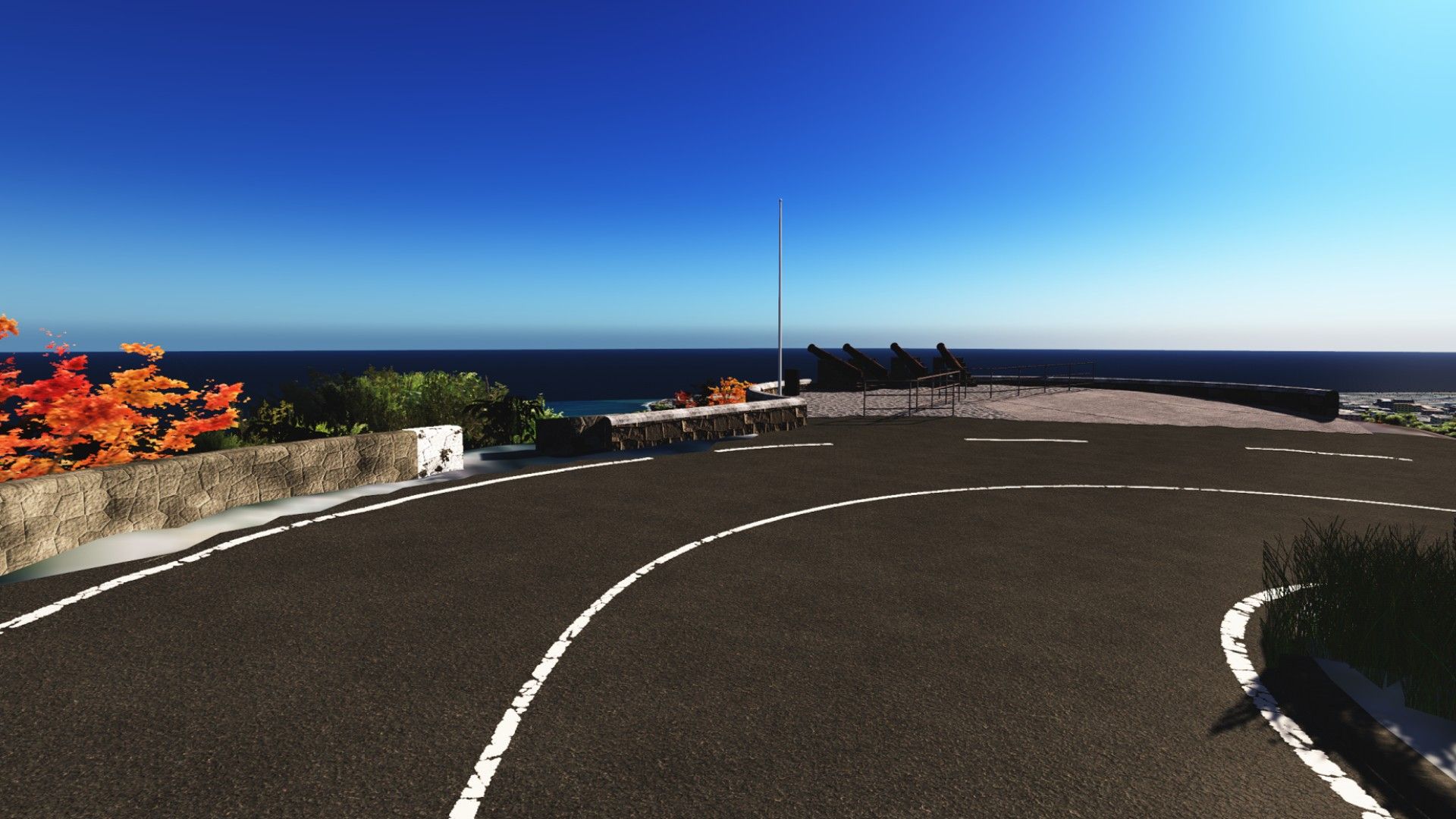
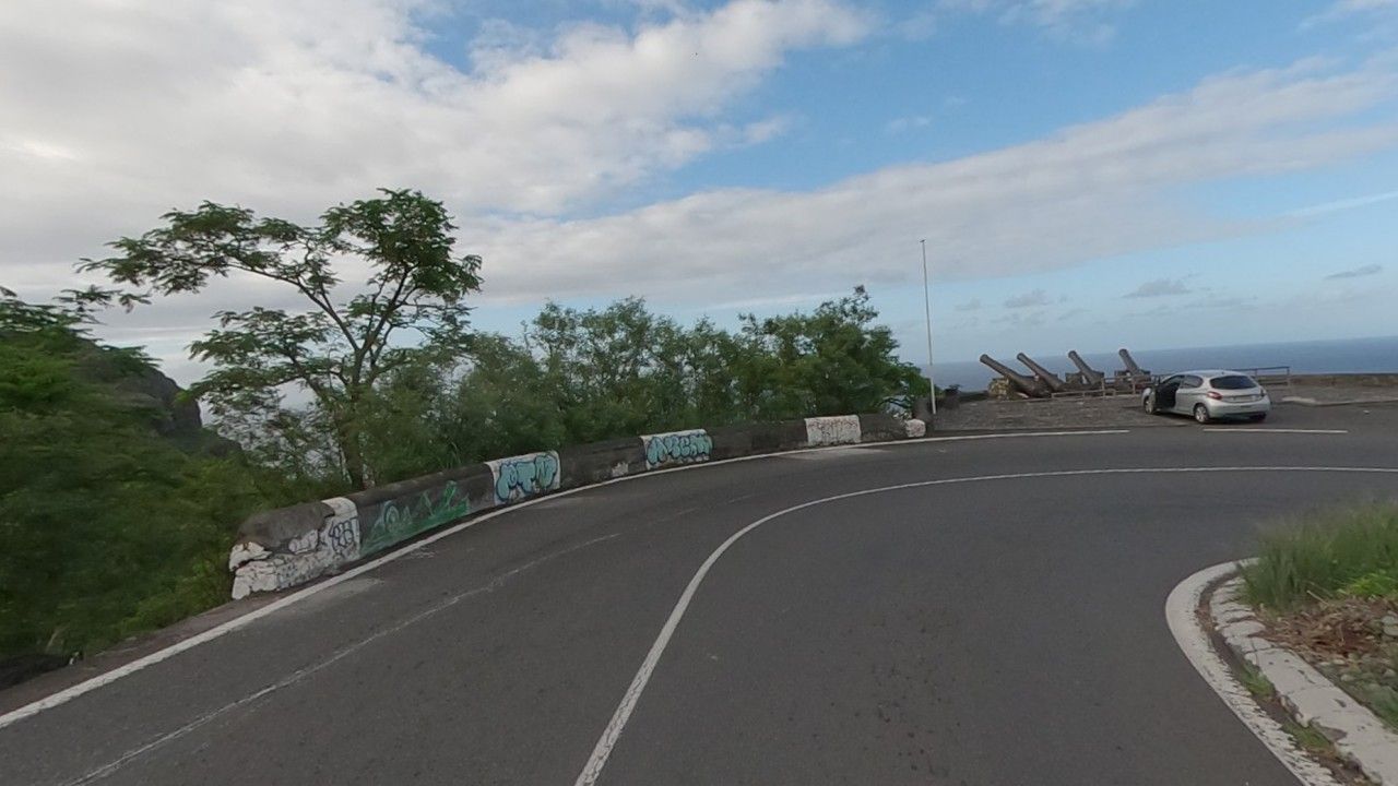
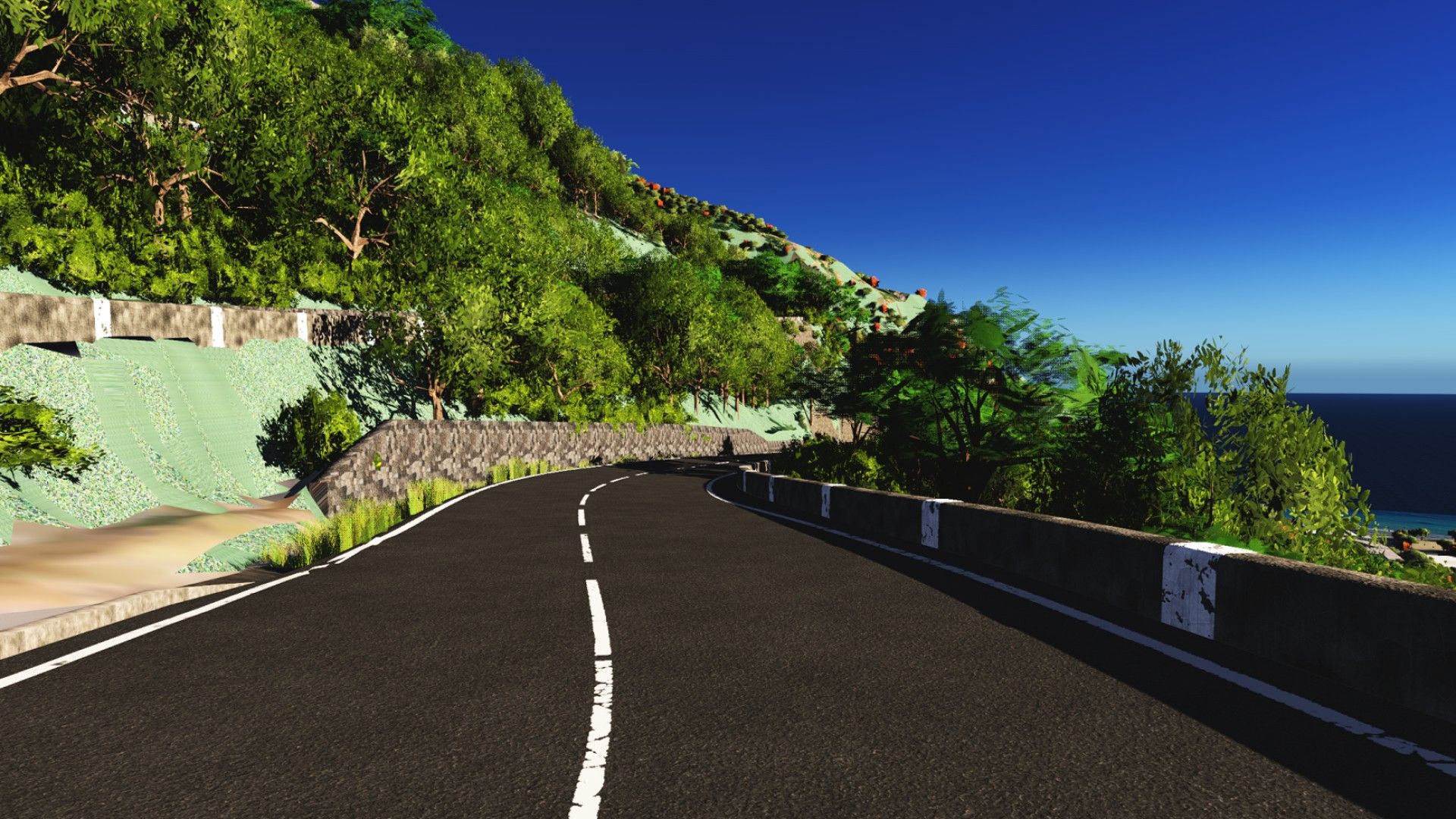
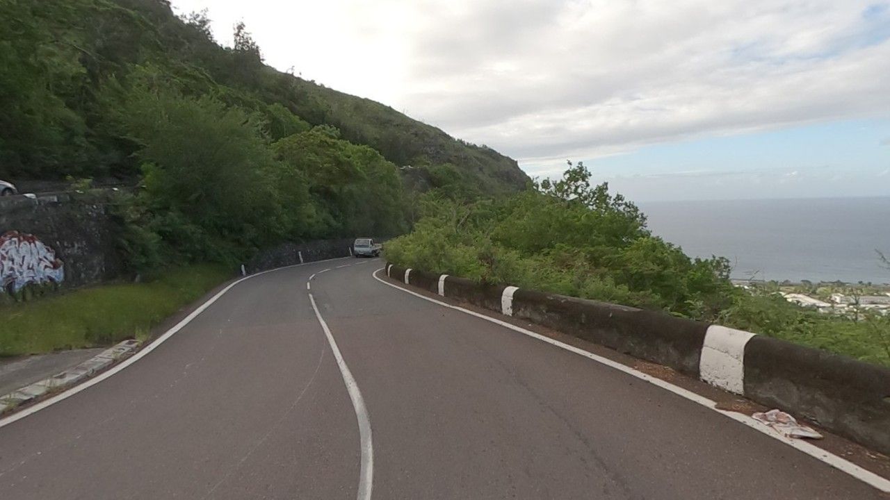
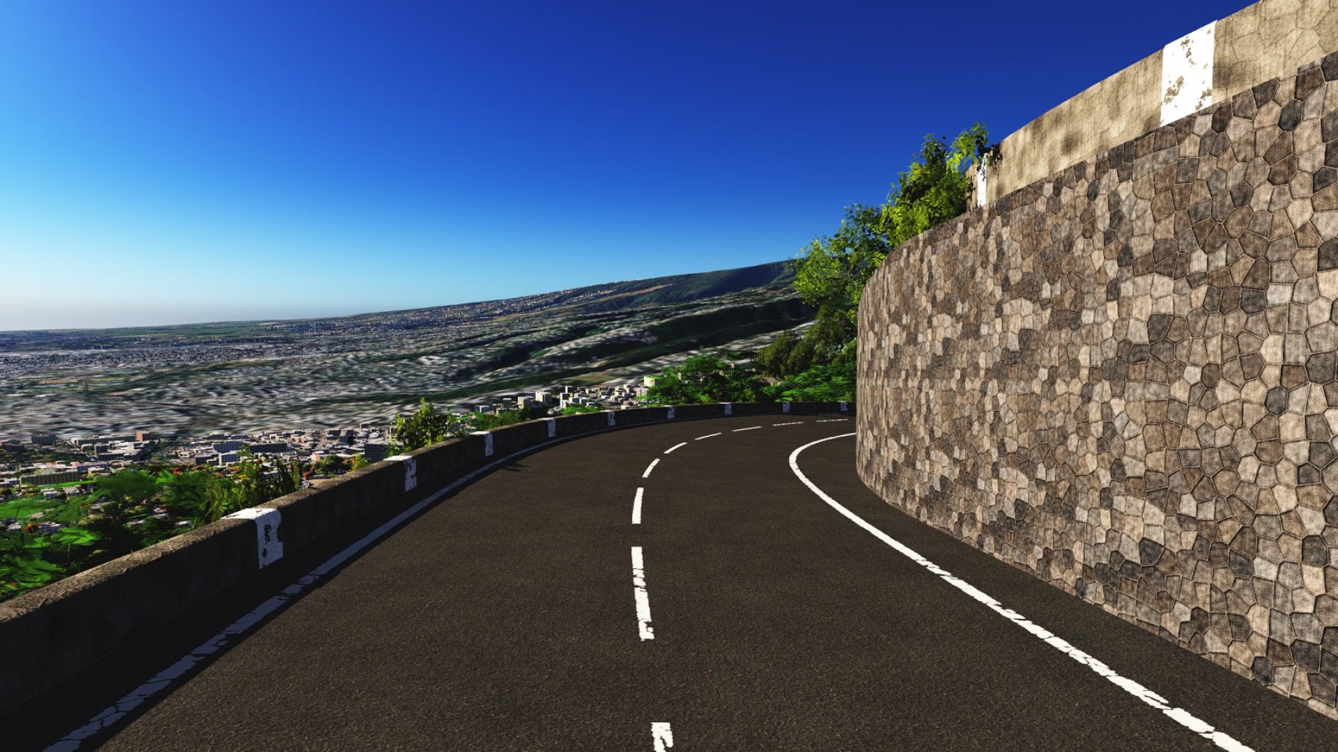
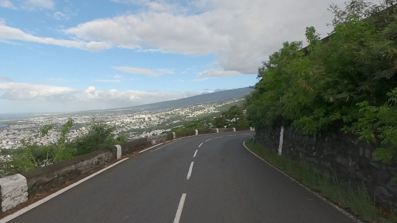
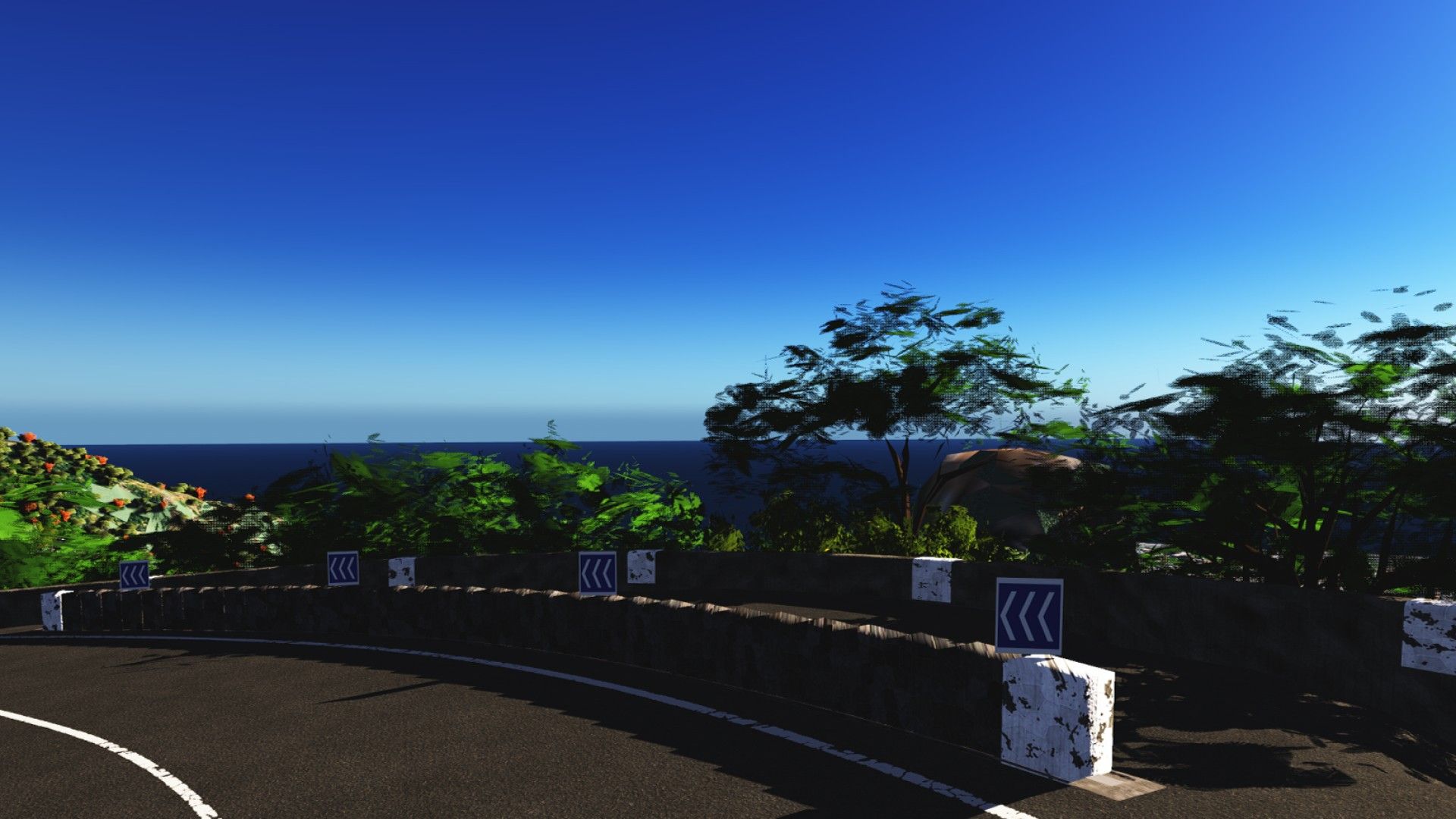
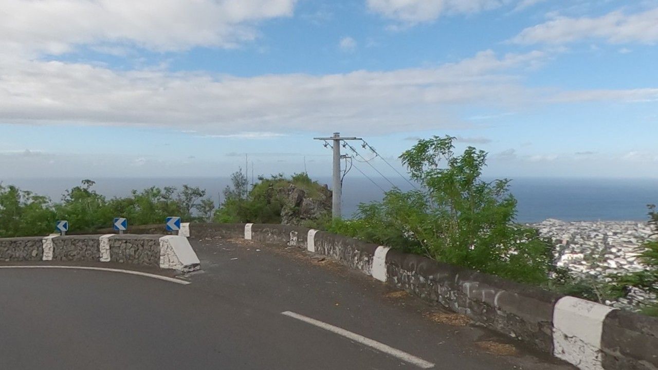
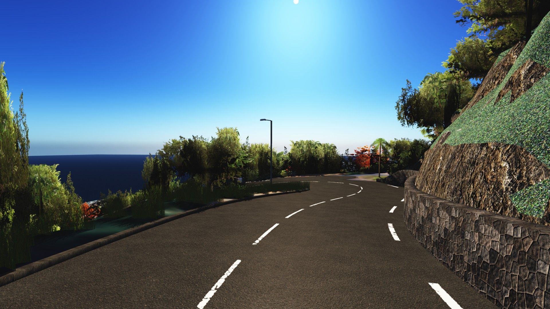
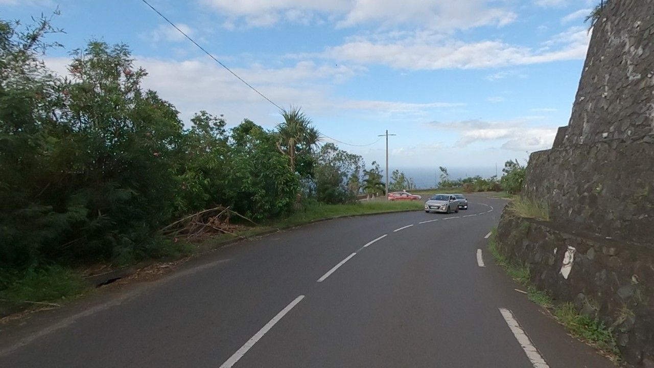
Real photos: Panoramax, sylvainp, 31/03/2025, Licence Ouverte 2.0 (cropped 360° photos). In game: Assetto Corsa screenshots (Custom Shaders Patch + Pure) from the same viewpoint, cropped to match the photo; the mood depends on the time and weather you pick.
Video
Know this road? The Route de la Montagne is coming to the gameThe TikTok video only loads when you click.TikTok ↗Versions and known issues
First public release: the full hillclimb, from La Redoute to La Montagne village.
Known issues
The list will be published with version 1.0.
Something wrong? Help (FR) · report it on the Discord, #retours channel, with the km and a screenshot.
Credits
IGN — LiDAR HD (Licence Ouverte Etalab 2.0) · IGN — BD ORTHO® 2025 (Licence Ouverte Etalab 2.0) · IGN — BD TOPO®, RGE ALTI®, CoSIA 2025 (Licence Ouverte Etalab 2.0) · Région Réunion — DEER (Licence Ouverte) · EDF SEI Réunion, via the City of Saint-Denis (Licence Ouverte 2.0) · CINOR — Citalis network (Licence Ouverte 2.0) · © OpenStreetMap contributors (ODbL 1.0) · Mapillary (CC BY-SA 4.0) · Panoramax (Licence Ouverte Etalab 2.0) · plant models CC BY 4.0 (PlantCatalog, Alnazir). Full credits and reuse terms
Thanks to Ko-fi supporters, Official Drivers first. Ko-fi